File: Rhodesia.png
From The Shire
No higher resolution available.
Rhodesia.png (554 × 550 pixels, file size: 107 KB, MIME type: image/png)
Summary
| Description |
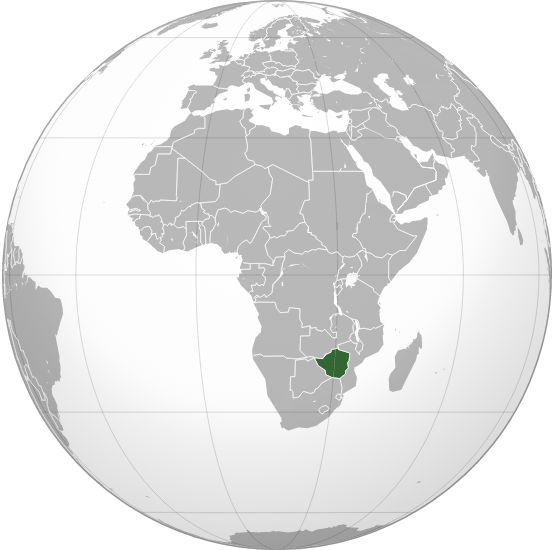
English: Map of Rhodesia (1965-1979) and Zimbabwe Rhodesia (1979-1980) |
| Date | |
| Source | Own work |
| Author | FelipeRev |
| Other versions | This is a derivative work of one of the maps available at Category:Locator maps of Africa (gray and green globe scheme) |
Licensing
I, the copyright holder of this work, hereby publish it under the following licence:
This file is licensed under the Creative Commons Attribution-Share Alike 4.0 International licence.
- You are free:
- to share – to copy, distribute and transmit the work
- to remix – to adapt the work
- Under the following conditions:
- attribution – You must give appropriate credit, provide a link to the licence, and indicate if changes were made. You may do so in any reasonable manner, but not in any way that suggests the licensor endorses you or your use.
- share alike – If you remix, transform, or build upon the material, you must distribute your contributions under the same or compatible licence as the original.
File history
Click on a date/time to view the file as it appeared at that time.
| Date/Time | Thumbnail | Dimensions | User | Comment | |
|---|---|---|---|---|---|
| current | 03:46, 29 January 2017 | | 554 × 550 (107 KB) | wikimediacommons>FelipeRev | Correction |
File usage
There are no pages that use this file.